Hours, prices, walk distances and access verified by the Kata Tjuta Tours team against Parks Australia — last checked 2026-09-03
The domes from the plain, from the air and from the road in; inside
Walpa Gorge and on the Valley of the Winds boardwalk; and Uluru, 50 km east, because
almost every departure visits both. Every photograph here comes from the operators’
own listings for the departures Kata Tjuta Tours compares.
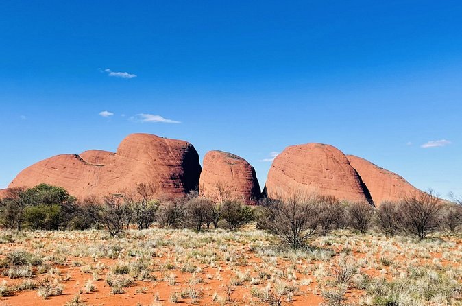
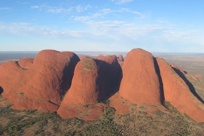
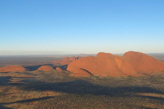
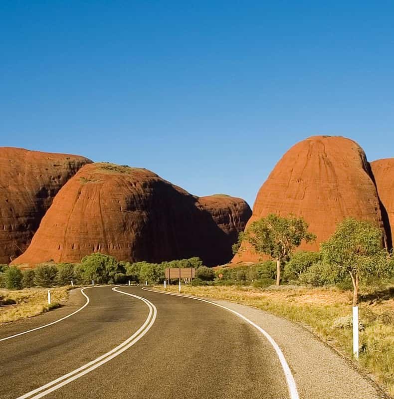
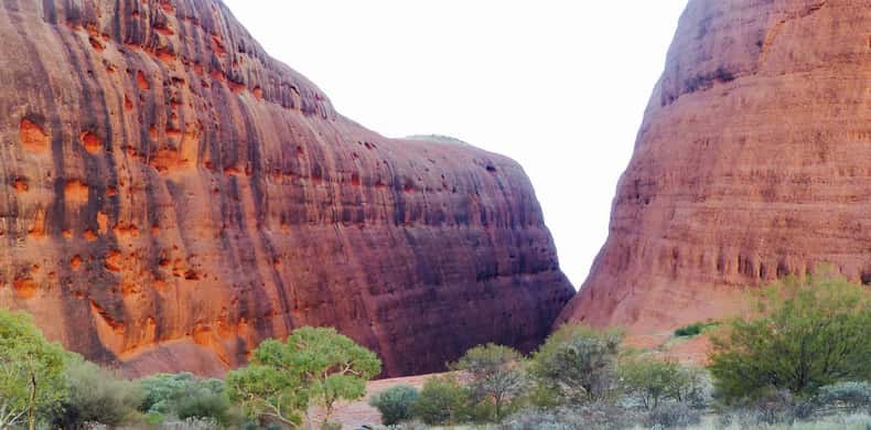
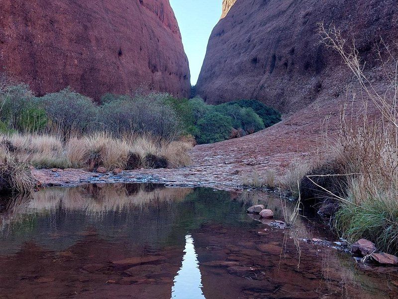
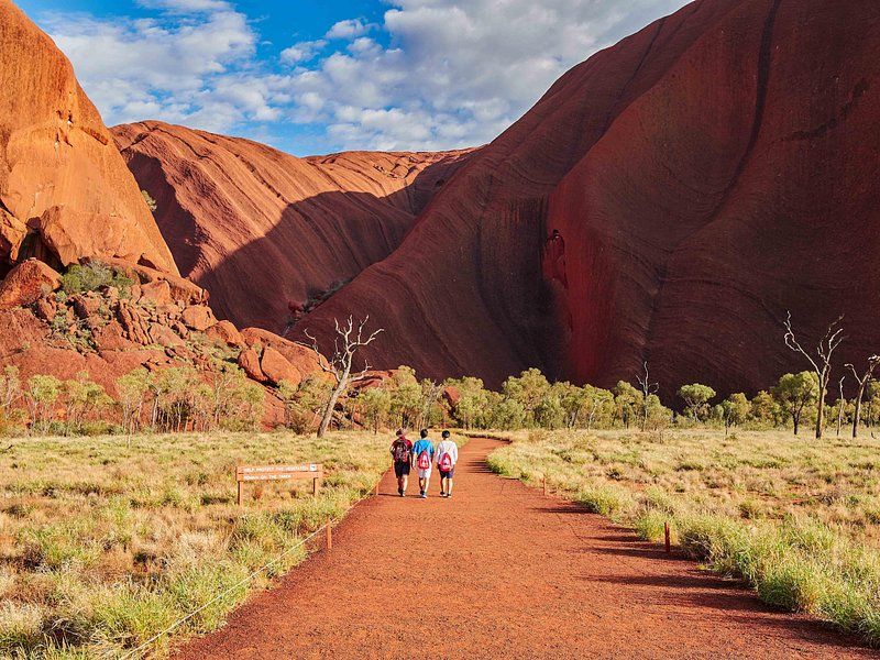
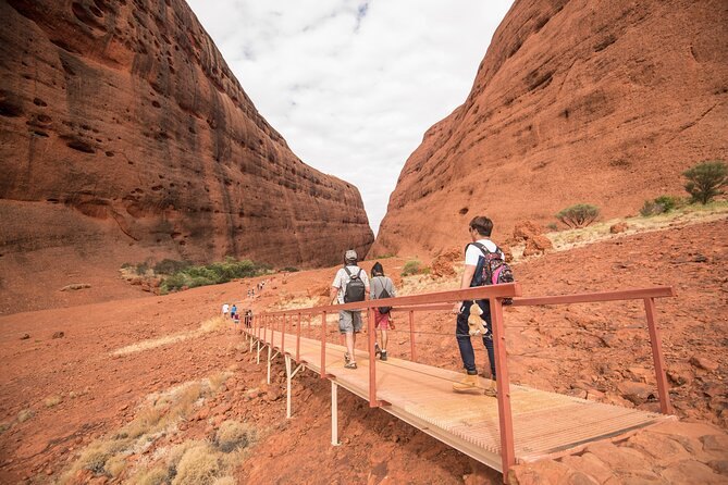
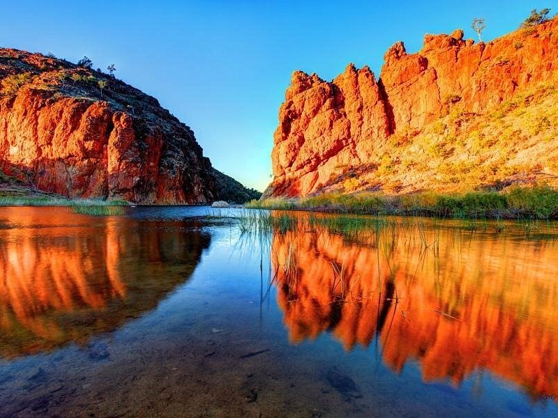
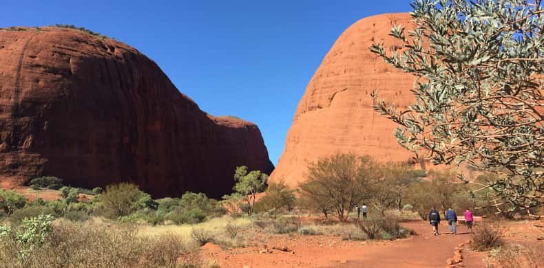
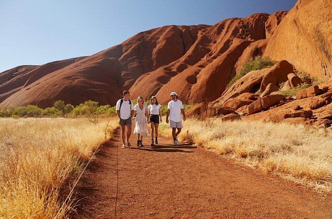
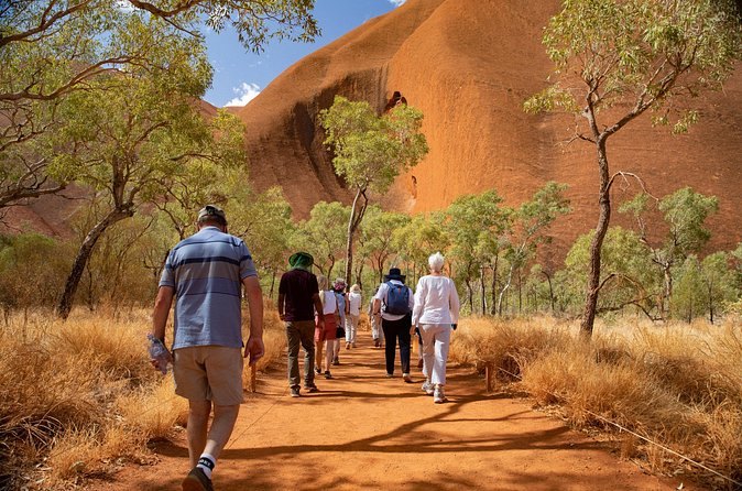
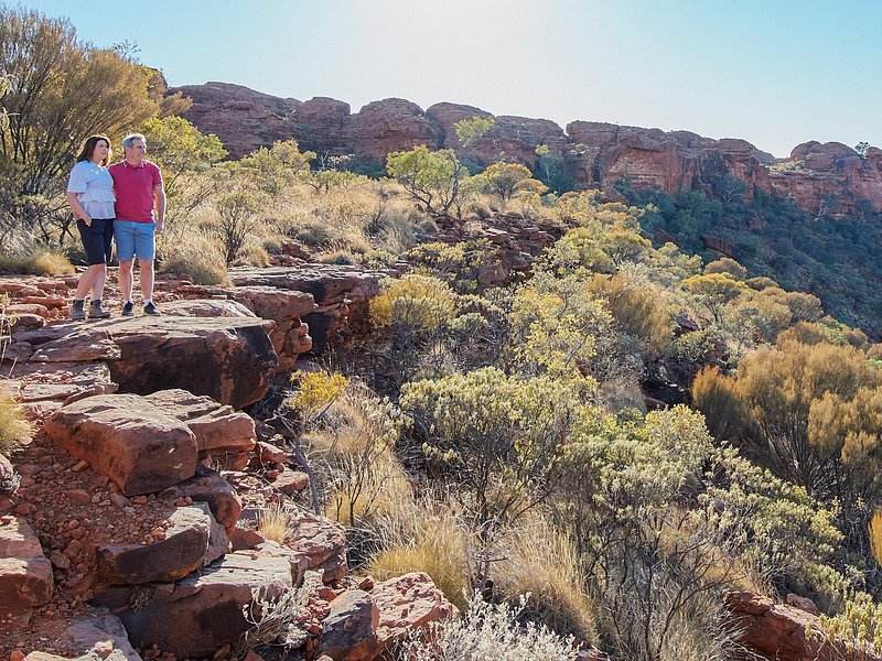
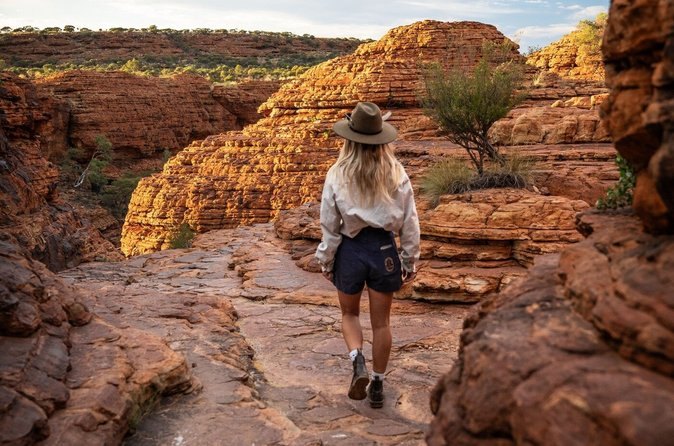
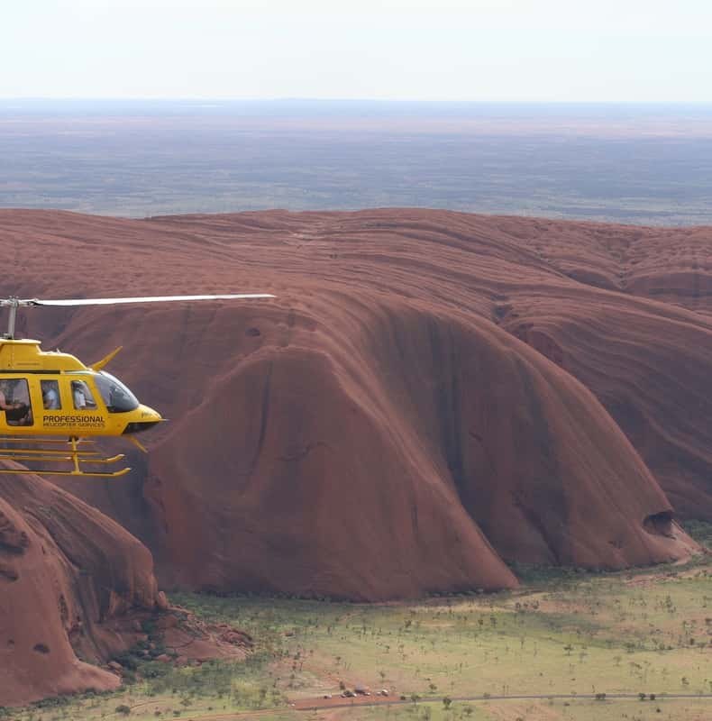
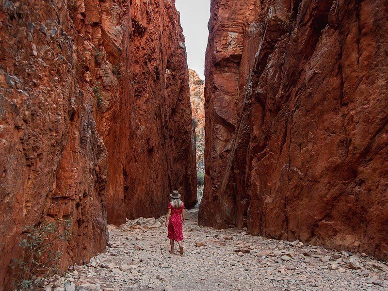
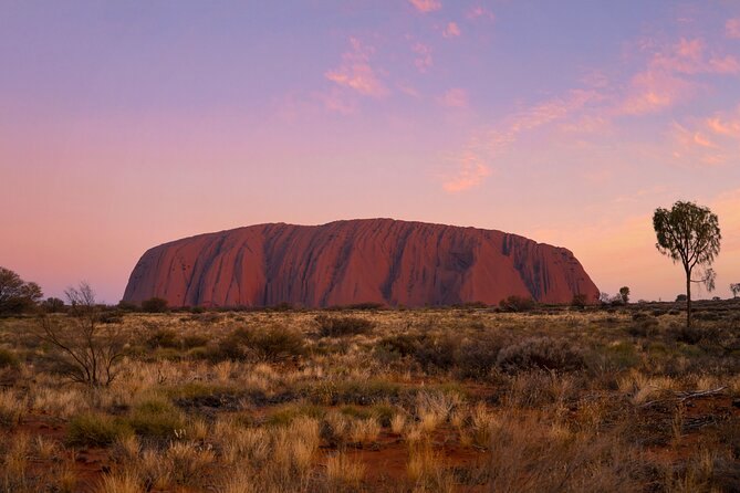
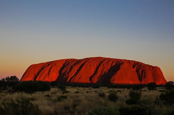
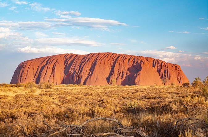
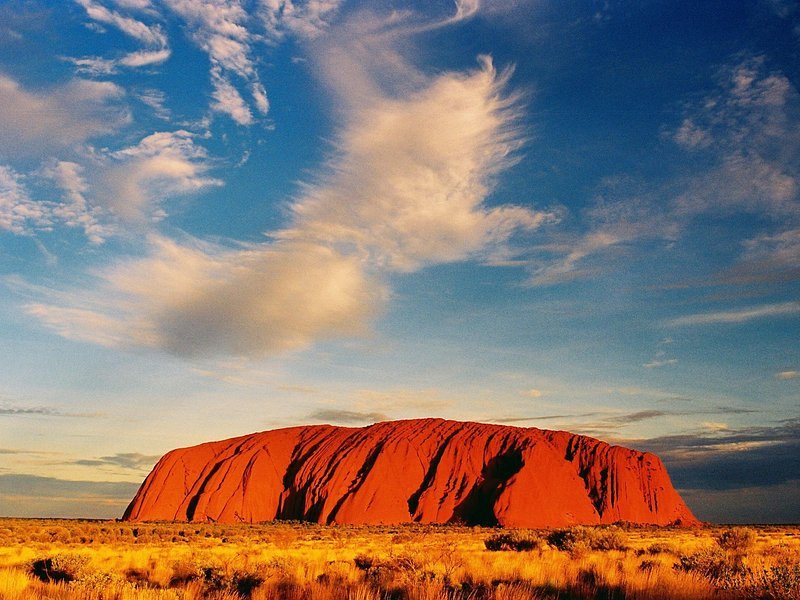
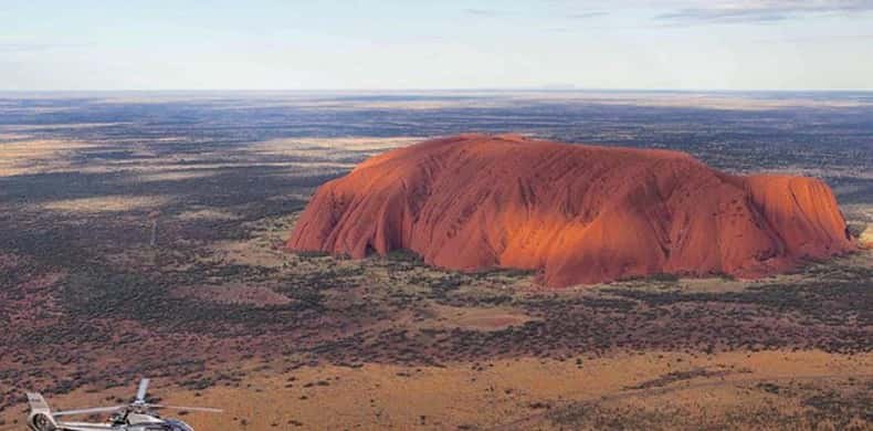
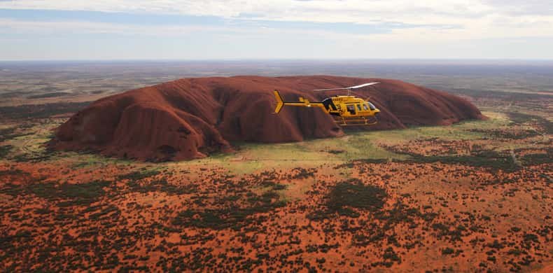
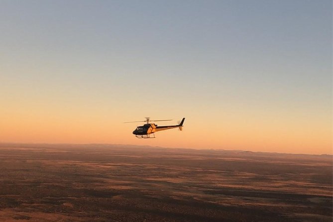
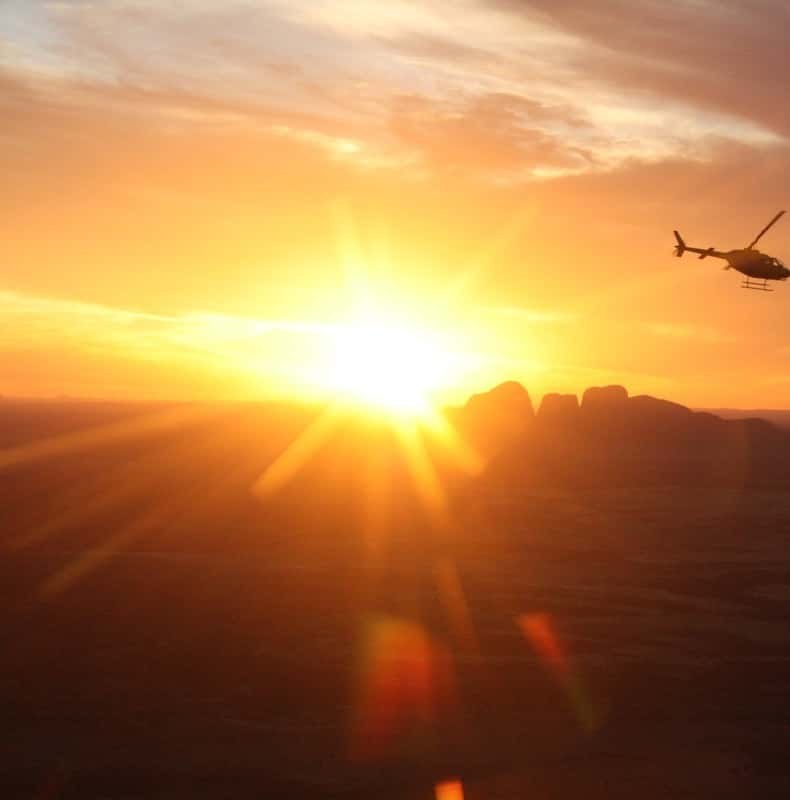
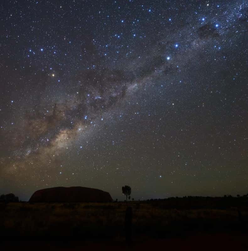
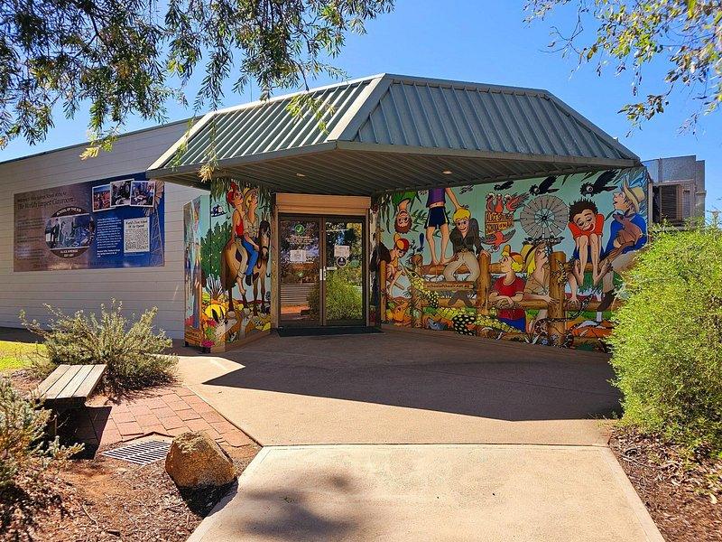
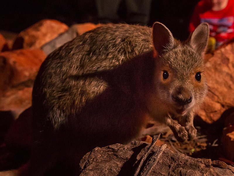
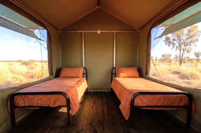
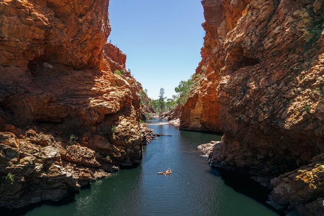
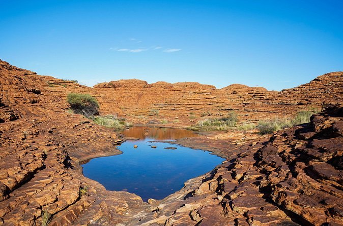
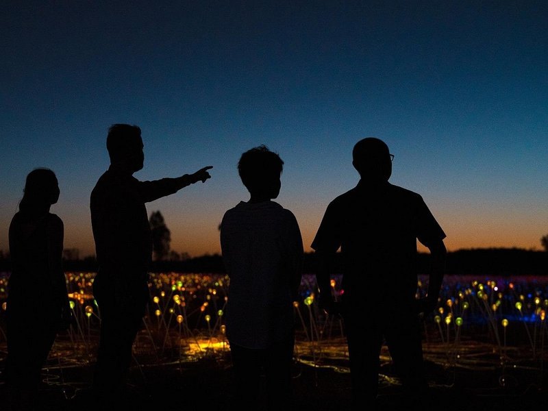
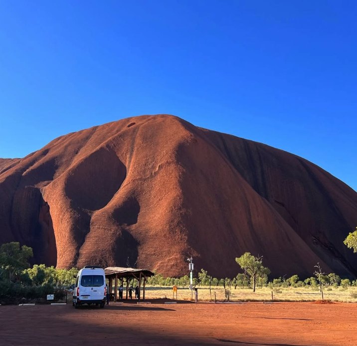
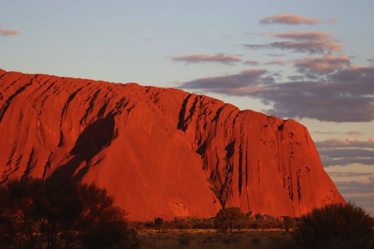
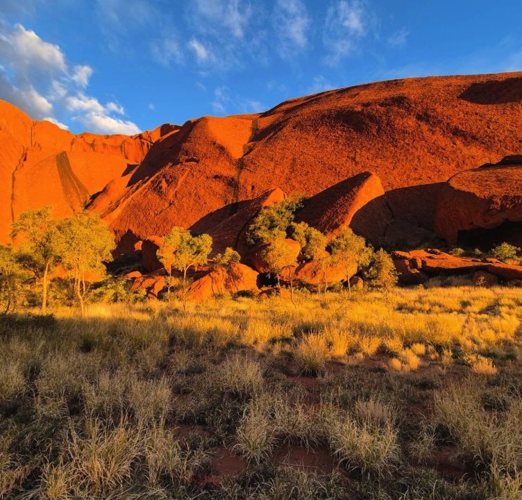
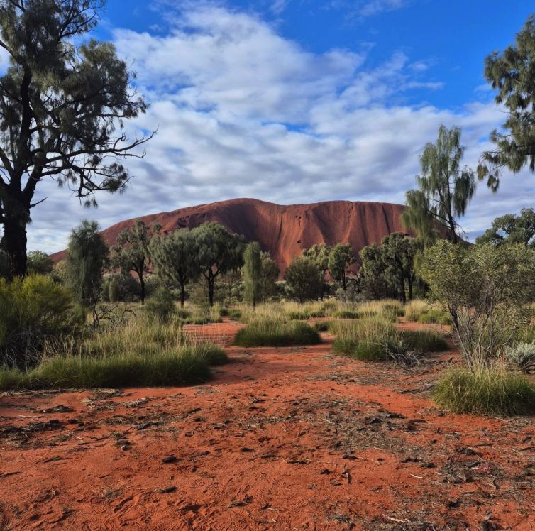
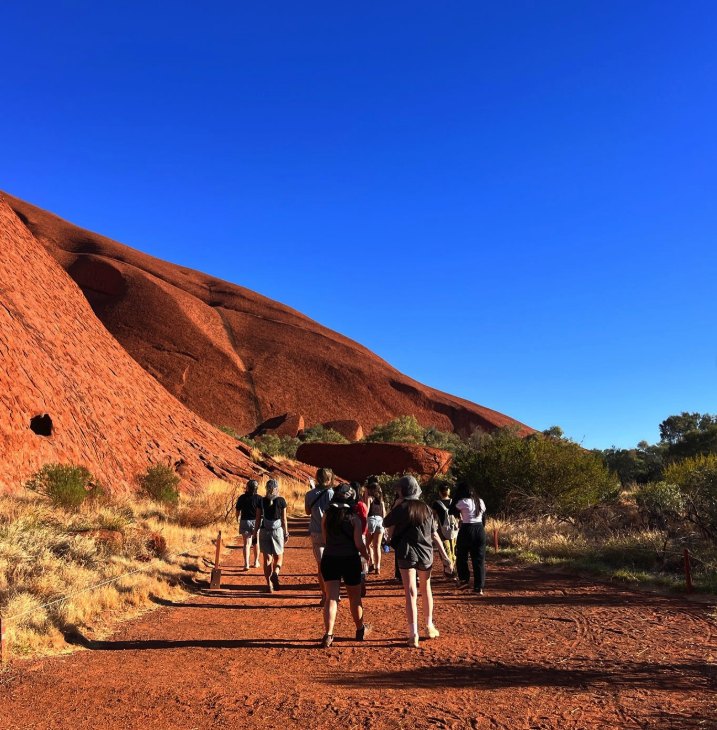
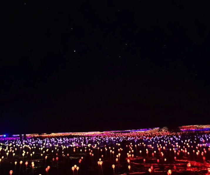
The domes of Kata Tjuta rising from the spinifex plain under a clear skyKata Tjuta seen from the air, the 36 domes separated by shadowed valleysKata Tjuta in flat early light, the domes stepping down to the horizonThe sealed road running west with the Kata Tjuta domes aheadThe walls of Walpa Gorge closing in on either side of the trackA still waterhole on the floor of Walpa Gorge between the dome wallsThe rocky track into Walpa Gorge with walkers small against the rockThe boardwalk section of the Valley of the Winds walk between the domesRed gorge walls reflected in still water in the West MacDonnell RangesDesert scrub and pale grass at the foot of two Kata Tjuta domesA red sand path running beneath the curved flank of a domeA walking track through desert oak woodland with red rock aheadThe uneven ridgeline of Kata Tjuta seen across spinifex countryA walker on the rock steps between two of the Kata Tjuta domesA scenic helicopter on the ground with a Kata Tjuta dome behind itA narrow red-walled gorge on one of the Red Centre itinerariesUluru under a pink dusk sky after the sun has goneUluru turning deep red as the sun drops behind the plainUluru catching low golden light above the spinifexUluru low on the horizon under a wide bank of desert cloudUluru seen whole from the air, its gullies shadowed along the flankAn aerial view of Uluru with the desert plain running out behind itA helicopter crossing the plain at the end of the dayA helicopter silhouetted against the setting sun over the desertThe Milky Way over the desert horizon on a clear nightThe Cultural Centre building inside Uluru-Kata Tjuta National ParkA kanyala, or common wallaroo, in the shade of the rocksTwin beds inside one of the permanent eco tents used on the camping tripsA green waterhole between the walls of a West MacDonnell gorgeA rock pool on the rim of Kings Canyon under a clear skyThe Field of Light installation glowing across the desert at duskThe Uluru-Kata Tjuta National Park entry sign on the road inA tour coach parked below Uluru at the viewing areaUluru glowing at sunset seen from the viewing areaThe ribbed flank of Uluru lit orange by late afternoon sunUluru seen through desert oak woodland from the park roadWalkers on the Mala track at the base of UluruThe Field of Light installation lit across the desert after dark
Where these photographs were taken
Most of them sit inside Uluru-Kata Tjuta National Park, within about fifty kilometres
of Yulara. The map page shows how the two formations, the viewing
areas and the resort sit against each other, and
the walks and lookouts explains what each named place
actually is.