13 Facts About Kata Tjuta That Surprise First-Time Visitors
Short answer. The one that reframes everything: Kata Tjuta's tallest dome stands 546 metres above the plain and Uluru stands 348 metres. The formation almost nobody makes time for is the taller of the two, by very nearly 200 metres, and both figures come from the same authority.
1. It is taller than Uluru, by about 200 metres
Kata Tjuta’s highest dome rises 546 metres above the surrounding plain. Uluru rises 348 metres. Both figures are Parks Australia’s own and both measure height above the plain rather than above sea level, which is what makes them comparable.
2. It is not one rock but 36
Thirty-six separate domes, spread over more than 20 square kilometres. Only four of them are close enough to the road to dominate the view as you drive in, which is why the formation appears to reorganise itself on the approach.
3. The name says exactly that
Kata Tjuta means “many heads” in Pitjantjatjara and Yankunytjatjara. It is the oldest name the formation has and the one Parks Australia uses throughout the park, and it describes the thing rather than commemorating a visitor.
4. The rock is full of other rocks
Kata Tjuta is conglomerate: pebbles and boulders of granite and basalt cemented together by sand and mud. Parks Australia calls the result a plum-pudding effect, and up close that is exactly what it looks like — a matrix studded with cobbles you can pick out with your eye.
5. Uluru is made of something else entirely
Uluru is arkose, a sandstone. The two formations are 50 km apart, began forming at the same time and are the tips of the same buried slab — and they look nothing like each other purely because of the size of the pieces that washed down onto the plain.
6. Both continue up to 6 km underground
What you can see is the top of it. Parks Australia states that both formations run below the surface for up to six kilometres, which makes the visible domes the exposed tips of something very much larger.
7. The whole thing was tilted on its side
About 400 million years ago, tectonic movement tilted the rock. Uluru went through ninety degrees; Kata Tjuta rather less. The vertical banding you can see on both is bedding that used to lie flat.
8. Nobody will tell you its stories, and that is the point
Kata Tjuta is an extremely important men’s work site, and Parks Australia states that the cultural knowledge attached to the domes is not shared with visitors. That silence is a fact rather than a gap. Any page that appears to know one of those stories has invented it, which is worth knowing before you read one.
9. There is a walk where you are asked not to take photographs
Along the Valley of the Winds, visitors are asked to refrain from photographing the rock formations, because they hold knowledge that should only be learned in person by people with the cultural authority to do so. Plants, animals and people are fine.
10. The long walk shuts at eleven in the morning
Whenever the forecast or actual temperature reaches 36 °C, the Valley of the Winds closes back to Karu Lookout from 11:00 am. Through December to March that is most days, which is why the guided departures run early and late rather than in the middle.
11. The park opens on the sun, not on a clock
Gate times move by four hours across the year: 5:00 am in January, 6:30 am in June and July. Closing moves too, from 7:30 pm to 9:00 pm. Your pickup time moves with them, which is why a December start is in the dark and a July one is not.
12. The tallest dome is named after a queen who never came
Ernest Giles, the first non-Aboriginal person to see the formation, named the highest peak Mount Olga in 1872 after Queen Olga of Wurttemberg. She was in Germany, roughly ten thousand kilometres away. The naming page follows what happened to that name afterwards.
13. Under-18s get into the park free
The pass is A$38 for three days for anyone eighteen or over, and free for everybody younger. Among Australian national parks that is unusual enough to be worth knowing before you budget a family trip.
The fact that changes how you plan the trip. Almost every Red Centre itinerary treats Kata Tjuta as a stop on the way to somewhere else. It is the taller of the two formations, it covers more than twenty square kilometres, and it is forty-five minutes from where you sleep rather than twenty. Plan it as a half-day and it repays the time; plan it as an hour and you will spend most of that hour in a vehicle. The walks page has every distance.
14. There is a fifth season you have never heard of
Anangu describe five seasons here rather than four, and they track food and weather rather than the calendar. Wari is the cold time from late May to July, with frost on some mornings. Piriyakutu runs August to October, when a warm steady wind comes from the north-west and the plants flower.
The other three are Itjanu, when rain brings the food plants out; Wanitjunkupai, when the reptiles go into brumation; and Mai Wiyaringkupai, the hottest. The month-by-month page maps all five onto the calendar you are booking against.
15. Two of the walks share a car park, and one of them shuts
The Valley of the Winds car park serves three of the four walking options — the 2.2 km, the 5.4 km and the full 7.4 km circuit — and it is the one the heat closure applies to. Walpa Gorge has its own car park a few minutes further on, and its track stays open whatever the forecast does.
That is worth knowing if you are driving yourself in December. You can arrive at eleven, find the long walk shut back to its first lookout, and still have the gorge.
16. Under-18s enter the park free, and it is unusual
Plenty of Australian national parks charge a family rate. This one simply does not charge anybody under eighteen at all, which for a family of four takes A$76 off a three-day visit. Parks Australia states it plainly rather than burying it in a concessions table.
The figures, in one place
| Measurement | Kata Tjuta | Uluru |
|---|---|---|
| Height above the plain | 546 metres | 348 metres |
| Shape | 36 separate domes | One continuous mass |
| Area | more than 20 square kilometres | 9.4 km around the base |
| Rock | Conglomerate | Arkose, a sandstone |
| Began forming | about 550 million years ago | about 550 million years ago |
| Depth below the surface | up to 6 km | up to 6 km |
| Drive from Yulara | about 45 minutes | about 20 minutes |
| Walking tracks | 2 tracks, 4 options | 6 tracks |
Every figure in the left two columns comes from Parks Australia, and the two heights are measured the same way — above the surrounding plain, not above sea level. That is what makes the comparison in fact one safe to publish.
Seeing the scale for yourself
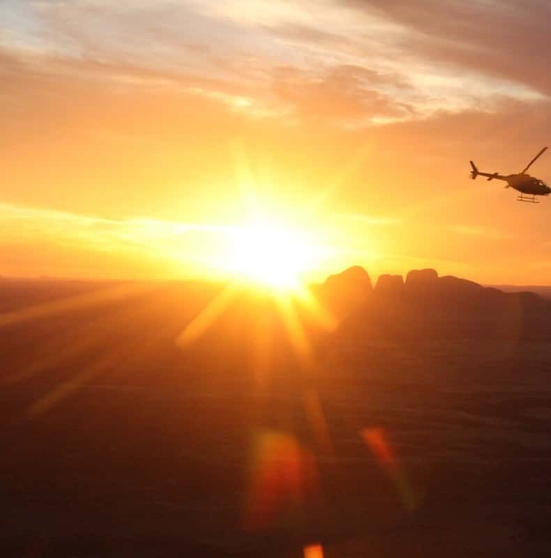
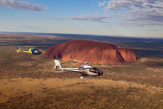
Two of these facts are hard to feel from the ground. The thirty-six domes read as four or five from the road, and the two-hundred-metre difference over Uluru only lands when you are underneath it. Tours of Uluru and Kata Tjuta include flights that take in the whole spread, and walks that put you between two of the tallest.
Kata Tjuta Tours sets them out side by side, and the geography page has the full figures with their sources.
Thirteen facts are a start. Standing between two of the domes is the rest.Every tour here refunds in full; each card states its own window.
See the departuresWays to see the scale for yourself
25-Minute Uluru and Kata Tjuta Scenic Helicopter Flight
Window seatHeadsets and commentaryPickup included
From $270 per person
3 night Uluru, Kata Tjuta and Kings Canyon Camping Adventure
All meals includedBeds includedWalpa Gorge walk
From $873 per person